IMD _Institute of Media and Design
- 2024
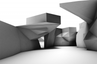
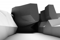
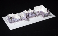
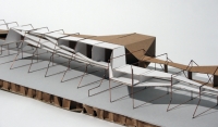
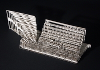
- AD +10 Meter _Into The Open_01
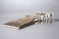
- AD +10 Meter _Into The Open_02
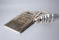
- AD +10 Meter _Into The Open_03
- FT F60 bridge Brandenburg
- FT Cologne Deutz harbor
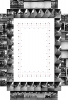
- AD Grossmarkthalle Cologne_01
- AD Grossmarkthalle Cologne_02
- AD Grossmarkthalle Cologne_03
- AD Grossmarkthalle Cologne_04
- AD Grossmarkthalle Cologne_05
- AD Marine Research Center Stavanger
- AD Fun Palace ICC Berlin
- FT Fun Palace ICC Berlin
- RO Architectural Narratives
- MD Tegel-Süd
- 2023
- 2022
- EX | GREY BOX TESTING _Workshop
- EX | GREY BOX TESTING _ALMERIA
- EX | GREY BOX TESTING _KOLWEZI
- EX | GREY BOX TESTING _SILICON
- EX | GREY BOX TESTING _AUTONOM
- AD In Limbus
- AD Atlantikwall
- AD Zentrum für Fotografie_01
- AD Zentrum für Fotografie_02
- AD Zentrum für Fotografie_03
- AD Zentrum für Fotografie_04
- AD Immigrants hotspot Calais
- AD Spreepark Berlin
- AD EXPO2021 Transformation
- AD Calais
- RO Cooling Clay
- RO Projective Fabrications
- MD Dover
- MD Blind Spot
- MD Power of Spaces
- MD Flickwerk
- MD Scaffolds
- 2021
- AD Gasometer Schoeneberg_01
- AD Gasometer Schoeneberg_02
- AD Gasometer Schoeneberg_03
- AD Gasometer Schoeneberg_04
- AD Perception as Reality
- AD Ebertplatz Koeln_01
- AD Ebertplatz Koeln_02
- AD Ebertplatz Koeln_03
- AD Rural Taxonomy - Rheinland
- VR Agora Virtuell
- MD Weaving Worlds
- MD Behind the Scenes
- MD Borders Crossing Borders
- MD Perspektivwechsel
- MD Ghosts of Beirut
- MD Codifying Embodied Practices
- MD Flux-House
- MD Peripherie BS
- 2020
- EX NEUXKÖLLN
- CO VR Symposium, Hannover
- FT Schnöggersburg
- EX VR-Präsentation TU Berlin
- AD Assemble - DisAssemble_01
- AD Assemble - DisAssemble_02
- AD Assemble - DisAssemble_03
- AD Rural Taxonomy - Lausitz
- AD Virtual Reality Center
- AD Allotment Garden Berlin
- AD Cinematheque for Berlin
- AD Neft Dashlari
- VR Unbefugte Nutzung
- MD Rural Taxonomy - Almeria
- MD Interrail Travel Guide
- MD Interrail Speculative Narrations
- MD Mapping MySpace
- 2019
- EX Kino der Moderne
- AD Yellow Tower Hildesheim
- AD Silk Road Duisburg
- AD Ein ZKM für Berlin_01
- AD Ein ZKM für Berlin_02
- AD European Hub Inden
- AD ÖKOstrie 4.0_BioDigital
- AD Reverse Architecture Chemnitz
- FT Chemnitz
- VR Zeichnen virtueller Raumbilder
- VR Entwerfen in der Virtuellen Realität
- VR Being a Drone
- VR Raumzeichnen 1
- RO Intrinsic Acoustics
- MD Digital Stereotomy
- 2018
- EX Roboramics _FUTURIUM
- AD Avus North Curve Berlin
- AD Wuppertal Reloaded
- AD Neues Sehen
- AD Benno Ohnesorg
- RO Endless Space
- RO Roboramics
- AR Spatial Information
- AR Augmented Realities
- VR Fieldstation Berlin Teufelsberg_2
- VR Fieldstation Berlin Teufelsberg
- MD Bending Bamboo
- MD Skins
- MD flow fly fold
- MD From Idea to Design
- MD Digitale Fabrikation
- MD Spatial Informa(p)tions
- MD Information Space 2
- 2017
- CO With eyes wide shut
- EX Photo-Based Architecture
- AD In.Form the Void
- AD Info.Tecture
- AD Transforming Tegel
- AD The space could also be different
- VR Mit weit geschlossenen Augen
- VR This is real
- VR Designing Virtual Realities
- LE Image-based Architecture
- RO Hello Robot
- RO Robot wire bender
- MD Cyber Space Modulators
- MD Ghost towns
- MD Motion - Space - Object
- MD Dynamic Surfaces
- MD Spatial modular systems
- MD Foams
- MD Tomorrow land
- MD Information Space
- MD Hybrid Processes 2
- 2016
- 2015
- EX Bigger than life
- AD Checkpoint Charlie theater
- AD Honecker Bunker Prenden
- FT Honecker Bunker Prenden
- RO The Unseen Ornament
- MD WovenWoodWall
- MD Bunkerarcheology
- MD Upside down
- MD Floating Concrete Shells
- MD One to One
- MD Foldable Surfaces
- MD Image Based Architecture
- MD Linear Constructions
- MD Reconstructing Tschernichow
- MD Cut Fold Turn
- MD Metabolism Printing
- MD Enter the Void
- 2014
- EX Smart modular systems
- AD Nuremberg transscription
- AD Avus north curve
- AD Time out zones
- FT Time out zones1
- FT Time out zones2
- AD Hacking Berlin Teufelsberg
- FT Hacking Berlin Teufelsberg
- AD Moma Tower
- AD Highrise Topology
- MD The Continuity of Space
- MD Continuum Structures
- MD Dissolving Funnel
- MD Photopology 1
- MD Cut to fit
- MD Parametric tiling
- 2013
- 2012
- 2011
- 2010
- EX Explosee
- EX Video reprojections
- EX Tape Deck
- AD Sustainable Center Afsluitdijk
- AD Hangar J 1000
- FT Junkers+Bauhaus Dessau
- MI Hangar J 1000
- MD Medial design processes
- MD Responsive_wall
- MD The flow of things
- MD PhotoStitching Reality
- MD Space projections
- MD Urban_bit_map
- MD Google's street view
- MD Structural constellations
- MD Intersection space
- MD Parts of space
- MD The section maker
- 2009
- 2008
- 2007
- 2006
- 2005
copyright _IMD

